

Hi, I'm Andrew. I'm based in Seattle and have worked in GIS and geography since 2002, and have also written about maps and geography in a few publications. I have a Master's degree in GIS and Web Development Masters from the University of Wisconsin-Madison, part of their geography department. I also taught GIS and cartography as an adjunct professor at the George Washington University in Washington, DC.
I believe that cartography, GIS and design can be used to analyze and explain, make sense of the confusing, and let people collect their own data and tell their own stories.
I went to George Washington for my undergrad degree in geography and lived DC until 2019 when I moved to Seattle. Outside of work, I volunteer with Maptime, a nonprofit that teaches anyone to make maps, I map for fun on OpenStreetMap and participate in mapping for humanitarian response, and I have written for a few blogs.
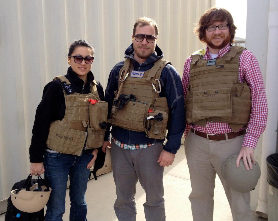
I worked for the US Agency for International Development (USAID) Office of Transition Initaitives for seven years, using maps, data and technology to support field programs in conflcit and crises environments. I was based in DC but spent time in Afghanistan, Pakistan, Haiti and Honduras working on data collection, data analysis, training and mapping projects and I also supported other programs in South Sudan, Colombia, Burma and elsewhere. Ask me about flying into Kandahar Airfield in a sandstorm!
Before that, I worked for the District of Columbia Government for five years, serving as a GIS Specialist in the Office of the Chief Technology Officer and in the Office of Tax and Revenue. I also worked for a government contractor making maps for the Census Bureau, Department of Commerce, and Department or Transportation.
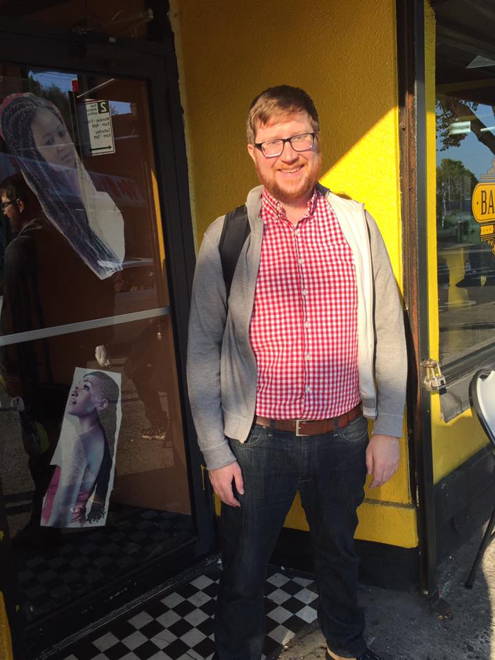
The photos are me in Toronto, Afghanistan, and at the former Wu-Wear Store in Staten Island.
I also like basketball, beer, travel, writing and maps.
Here's my contact info.
For some examples of my work, go back to the main page.