Neighborhood Mapper with OpenStreetMap
Making a map
It can be difficult and expensive to collect GIS data and make your own interactive web map, especially for non-technical people. Previously I’ve volunteered with neighborhood organizations that host neighborhood festivals and events and work to support local businesses, and they’ve often wanted a way to visualize and show off local businesses and government amenities in an area. They want to let new or existing residents and visitors be able to find what they’re looking for in the neighborhood.
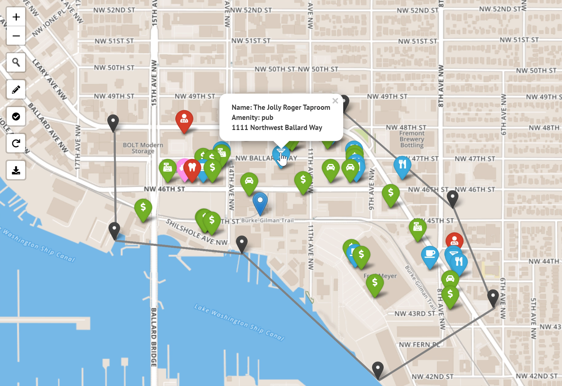
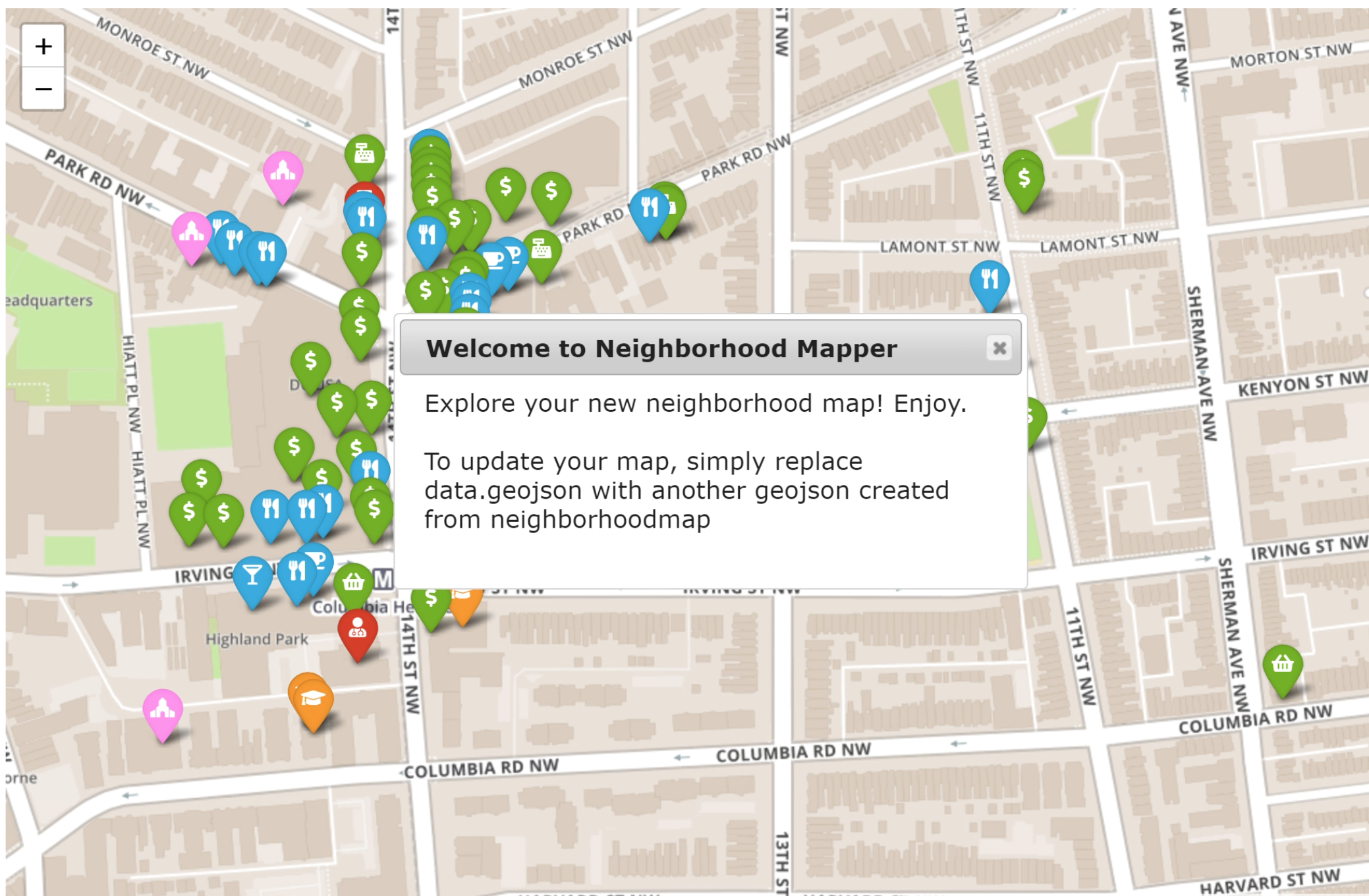
The Neighborhood Mapper tool lets a user select an area, and then the tool downloads and parses business and service data from OpenStreetMap, the free and open map of the world, symbolizes that data, and provides a downloadable file and an attractive, fully functional web map the user can host themselves.
There are two Github repos for the project: Neighborhood Mapper, which lets you choose an area and download the data, and Simple Map, which lets you symbolize the data in a Leaflet map.